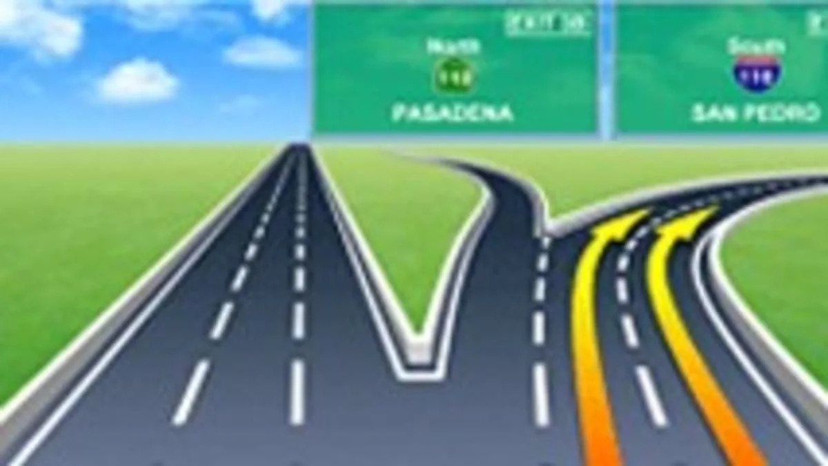
Navigation systems are a beacon of hope for anyone driving in a new city, but even the most advanced, detailed maps don't give an urban-newbie the details they need. Zenrin hopes to change that with a new set of maps that blend 3D graphics with something close to augmented reality.
The software, which is currently being developed for businesses, can run on the iPhone or iPad and has detailed maps and navigation data for most major cities in the U.S. There's talk of Zenrin's software being used by at least one portable GPS manufacturer and possibly an automaker, but don't expect anything to hit the consumer market until 2012 at the earliest.
[Source: Zenrin via Consumer Reports]

Sign in to post
Please sign in to leave a comment.
Continue