In Google's relentless push to map and photograph the world's public spaces, the search giant has saddled up dozens of its engineers into custom trikes to bring its Street View treatment to parks.
Using these specially developed tech'd-out trikes, riders can take 360-degree photographs of trails and parks without having to increase their carbon footprint, providing would-be visitors a chance to see the sights without leaving the comfort of their couch.
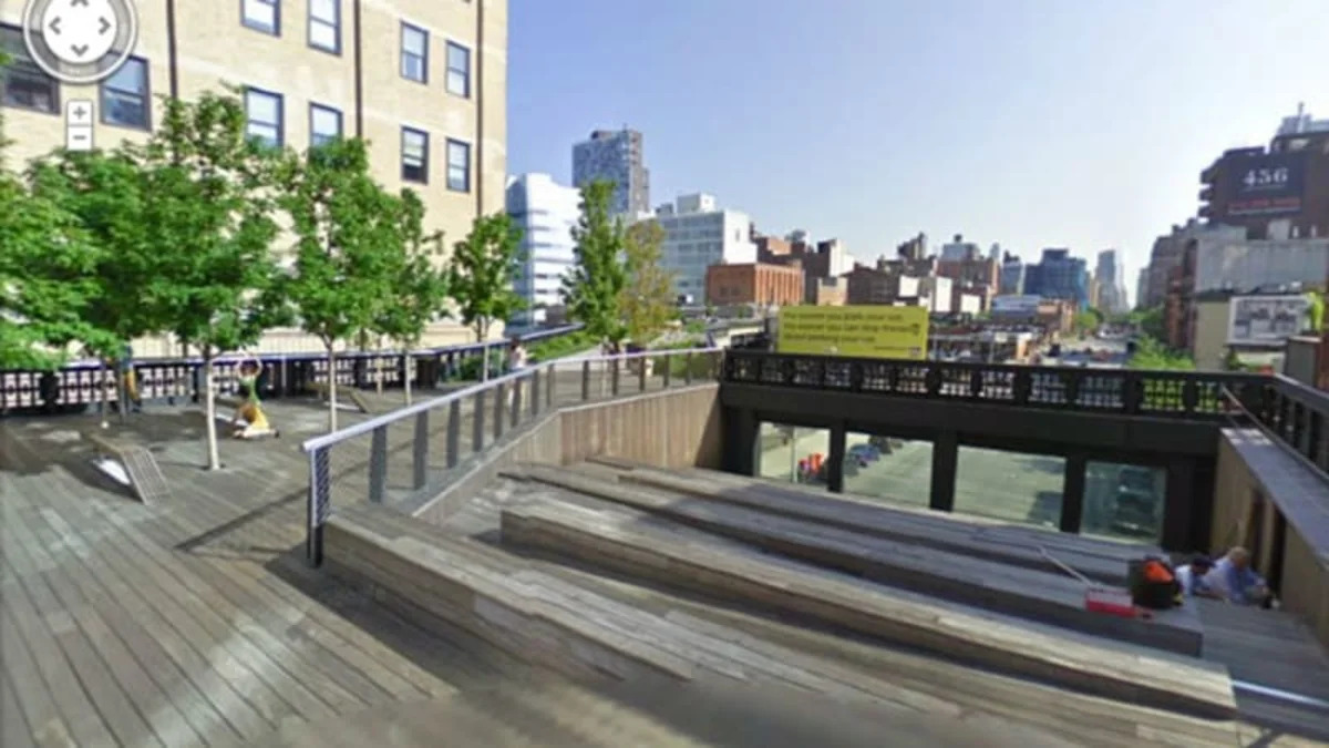
One of the latest parks to get mapped is New York's High Line, a 1.5-mile track that stretches across the western side of Manhattan, a ribbon of land that has been taken over by nature since it was put out to pasture decades ago. Other parks include London's Kensington Gardens and Tokyo's Koganei Park.
Follow the jump to take a Street View tour of each park, as well as check out a video of how Google photographed and mapped Highline Park.
View Larger Map
View Larger Map
View Larger Map
Using these specially developed tech'd-out trikes, riders can take 360-degree photographs of trails and parks without having to increase their carbon footprint, providing would-be visitors a chance to see the sights without leaving the comfort of their couch.
One of the latest parks to get mapped is New York's High Line, a 1.5-mile track that stretches across the western side of Manhattan, a ribbon of land that has been taken over by nature since it was put out to pasture decades ago. Other parks include London's Kensington Gardens and Tokyo's Koganei Park.
Follow the jump to take a Street View tour of each park, as well as check out a video of how Google photographed and mapped Highline Park.
View Larger Map
View Larger Map
View Larger Map

Sign in to post
Please sign in to leave a comment.
Continue