
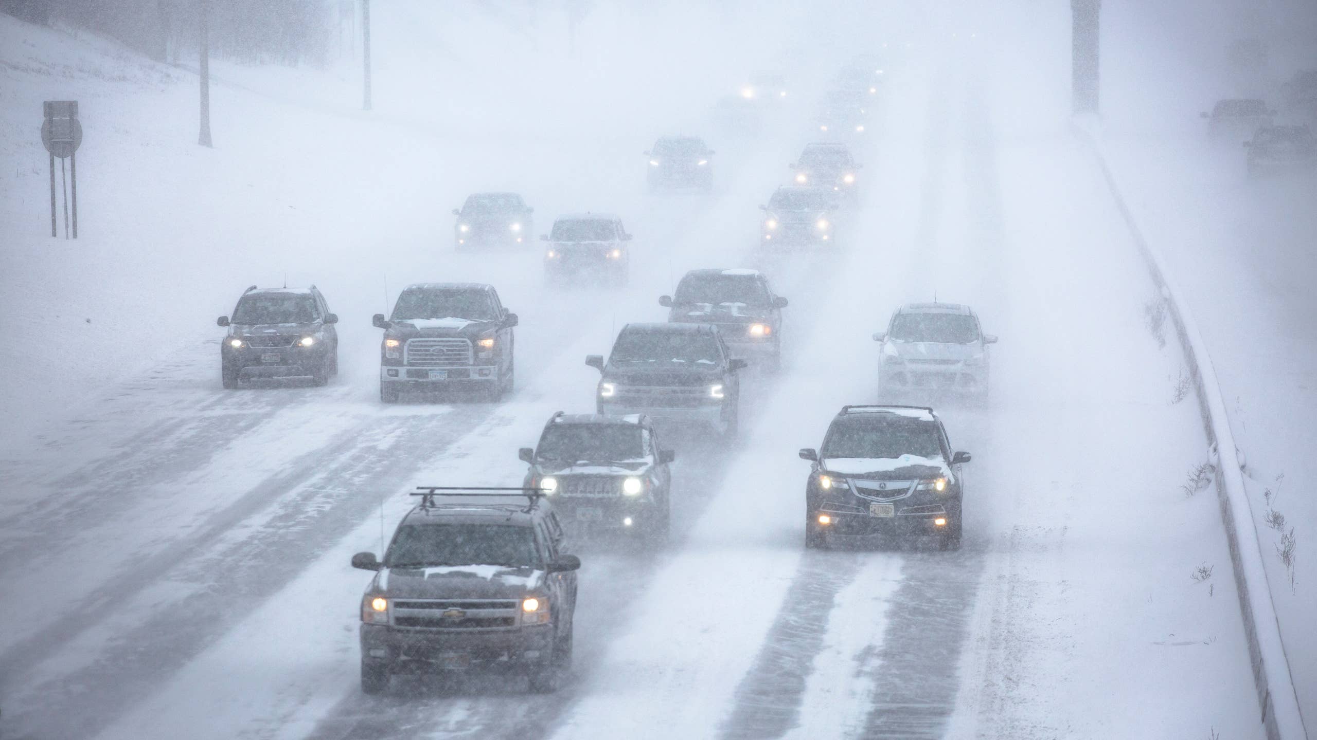
Snowfall totals vary considerably by elevation, but the highest terrain could pick up 15 inches by Monday night. The National Weather Service also warns of gusts up to 55 mph, slick roads and visibility below a quarter mile in some areas, potentially affecting both Monday commutes.
Snow And Wind On I-80 And I-70
NWS Cheyenne has a winter weather advisory for the South Laramie Range, including the I-80 summit between Cheyenne and Laramie, from 10 a.m. ET Monday to 1 a.m. ET Tuesday. It calls for 2 to 4 inches of snow in two rounds, one Monday morning and another Monday evening after a lull, with gusts up to 55 mph and reduced visibility during the evening commute.
Farther west on the same interstate, a second advisory covers the North Snowy Range Foothills, including Arlington and Elk Mountain along I-80, from 7 a.m. to 7 p.m. ET Monday. That one forecasts 2 to 4 inches of wet snow and gusts to 40 mph, and the office expects roads, especially bridges and overpasses, to turn slick.
In Colorado, NWS Denver has an advisory above 9,000 feet for the mountains of Summit County, the Mosquito Range and the Indian Peaks, including the Eisenhower Tunnel, Berthoud Pass, Winter Park and Breckenridge. It runs from 7 a.m. ET Monday to 2 a.m. ET Tuesday, with 3 to 7 inches of snow and slippery roads during both Monday commutes.
Highway 14 And The Bighorn Mountains
NWS Billings has the northern Bighorn Mountains in Montana and Wyoming under an advisory until 10 p.m. ET Monday, with up to 10 inches of snow, gusts to 45 mph and the heaviest snow Monday morning. The office warns that snow and blowing snow will make travel along Highway 14 through the range very difficult, with visibility possibly dropping below a quarter mile.
To the south, NWS Riverton expects 6 to 10 inches above 9,000 feet in the southeastern Bighorns from 3 a.m. to 7 p.m. ET Monday, and 10 to 15 inches at the highest elevations near Cloud Peak, with gusts up to 55 mph. Granite Pass could see 5 to 8 inches, while Powder River Pass is forecast for up to 2 inches.
I-80 Crosswinds And Wyoming’s Blow-Over Warnings
Wyoming’s I-80 summit faces another hazard besides snow: gusts to 55 mph that can put high-profile vehicles at risk of blowing over. The Wyoming Department of Transportation has posted closures for light, high-profile vehicles during wind events since 2011, and in 2023 it began adding specific weights to its blow-over warnings on part of I-80. That lets drivers of trailers and commercial vehicles see whether their load is at risk. Where those signs are not available, the warning reads “Extreme Blow Over Risk.”
WYDOT bases those decisions on current and forecast wind speeds along with the shape of the road, and it has found that blow-over crashes peak in winter, with the most in February and December. Restrictions show up on overhead signs and on the state’s 511 tools.
Colorado Traction Law On I-70: Tire Tread, AWD And $500 Fines
Drivers heading through the Eisenhower Tunnel should also account for Colorado’s traction law, which the Colorado Department of Transportation applies to I-70 between Dotsero and Morrison from Sept. 1 through May 31.
Compliance means tires with at least 3/16 of an inch of tread plus one of the following: four-wheel or all-wheel drive, tires marked M+S, winter tires with the mountain and snowflake symbol, or tires the manufacturer rates as all-weather. Drivers without any of those need chains or an approved alternative traction device. A standard citation brings a $100 fine plus a surcharge, and the penalty rises to $500 plus a surcharge if the vehicle ends up blocking one or more lanes.
About the author

Adam Lynton
Co-Editor-in-Chief, Autoblog